18:48 | McGain takes bullet ahead of Schurmann
18:45 | McGain holds Schurmann off downwind
18:44 | Can Schurmann catch McGain downwind?
18:43 | Paulo dos Reis is sitting this race out as a throw out
18:37 | Upwind mark… McGain leads Schurmann…next is battle between Le Metayer and Martinez
18:36 | McGain insane upwind
18:35 | Schurmann rounds low mark ahead of McGain
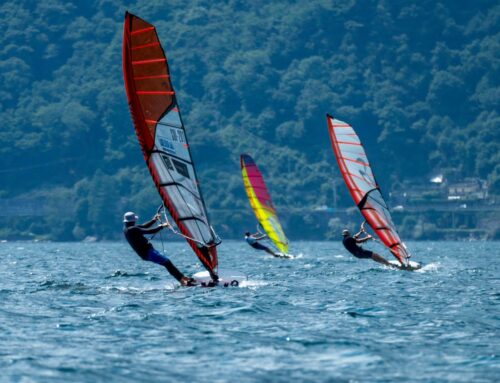
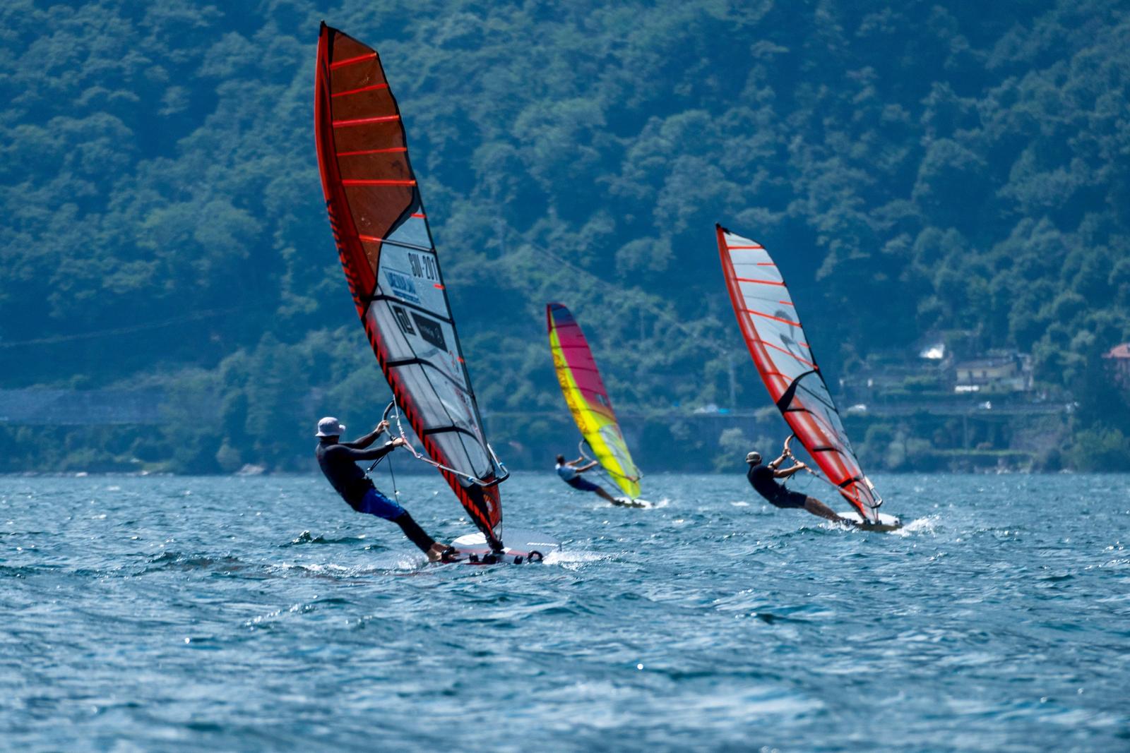
18:33 | Classic bay…tons of boat action
18:32 | Schurmann shoots past McGain downwind
18:30 | McGain rigged down from a 11 to a 10 meter for this race
18:29 | Top mark… McGain ahead of Schurmann and Fernando Martinez
17:45 | Last race is on!
17:36 | Finish…dos Reis…McGain catches Schurmann for 2nd
17:35 | He is \\”the king\\” in this race
17:34 | Dos Reis big lead
17:34 | dos Reis round first ahead of Schurmann and McGain
17:31 | Good race between Besse and Le Metayer for 4th
17:30 | McGain working to beach and tacks
17:29 | Schurmann tacks at beach furthest downwind
17:28 | Big tanker ship coming in which could be interesting for racers
17:26 | McGain passes Schurmann and is gaining upwind on dos Reis
17:26 | …upwind
17:25 | Flood tide so rider working the shoreline
17:23 | Dos Reis rounds followed by Schurmann and McGain
17:23 | McGain jibes first
17:22 | Schurmann passes McGain
17:21 | McGain and Schurmann try to reel Paulo in
17:19 | Dos Reis smoking downwind
17:17 | Upwind mark rounding…dos Reis followed by McGain, Schurmann…
17:15 | McGain, dos Reis and Schurmann lead
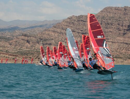
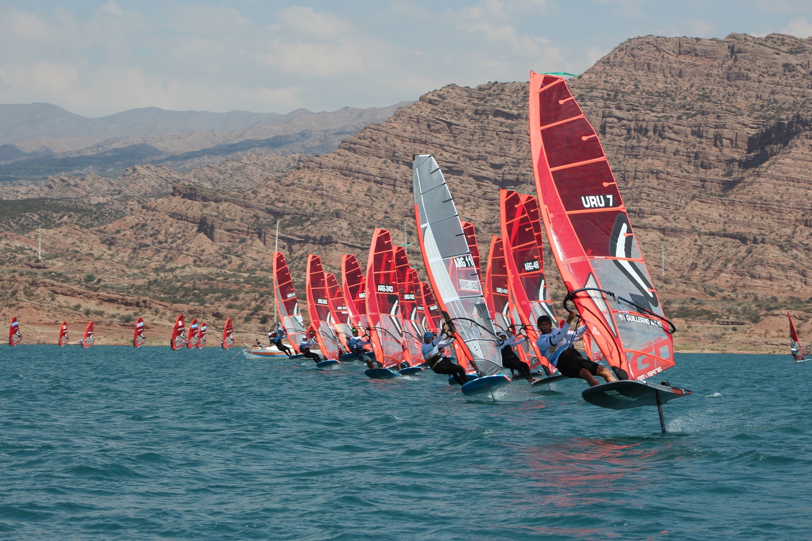
17:11 | Start…everyone but one on Starboard
17:10 | Less than 5 min to start
17:04 | Paulo dos Reis leads Phil McGain by only 2 points in standings with 2 races left
17:02 | It\\’s day 5 and the first formula race is starting shortly
12:28 | Saturday forecast from event sponsor windflow:
Human Meteorologist Forecast – Daily Briefing
San Francisco forecast valid for Sat, Jul 24, 2010
Issued 7/24 at 7:00 AM by meteorologist Mike Godsey – Next scheduled update: 11:30 AM
Special updates issued as needed.
Seasonal Forecast Survey
AM/PM Sherman solid low 20\\’s. North tower, TI, Berkeley, Pt. Isabel low 20\\’s. Peninsula upper teens to near 20.
Plain Talk:. Changes in Cut-Off Low as noted below so the NW wind at the ocean buoys will only go to faint NW in the PM. And the marine layer clouds have pushed over the East Bay hills and the burn off will be only a bit earlier than yesterday and clouds will linger near the Golden Gate. The pressure gradient to both Sacramento and especially Redding will be strong creating southerly flow inside the Bay. This combo of faint NW oceanflow and moderate WSW thermal flow is best at sites North of Candlestick.
Tech Talk: Overnight the Cut-Off Low, unpredictable as ever, shifted slighly towards us in preparation to it\\’s lunge towards California Sunday when Sherman should really RIP. See Weather Blog imagery at 8AM. This movement has deepened the marine layer clouds and will delay/weaken the slight ramp up in the NW ocean winds. A combo of weak southerly wind just aloft and the Central Valley thermal low focused towards Redding favor the north tower to East Bay to Sherman Island axis.
· Sherman Island: Dawn low weak mid 20\\’s. Rest of AM low 20\\’s. Mid day upper teens to low 20\\’s. Afternoon low 20\\’s inching to mid 20\\’s after dusk. STRONGER Sunday/Monday as Cut-Off Low hits the coast.
· Coast: Bodega low teens NW. Waddell mid to possibly weak upper teens but clearing iffy. Average ocean buoys swell forecast: NW 1-4 feet @ 9 sec. wind & ground swell. Southerly swell 1-3ft. @ 13 sec. Actual size of surf varies by site, tide level, direction exposure, bottom topography
· Central Bay: Crissy may be too foggy. Mid teens past Anita Rock then low 20\\’s mid bay, but stronger out toward North Tower. TI low 20\\’s.